With thoughtless drone use placing pilots lives at risk across the nation, Griffith’s drone owners are being urged to download a tool to help keep the city’s skies safe for all.
Subscribe now for unlimited access.
$0/
(min cost $0)
or signup to continue reading
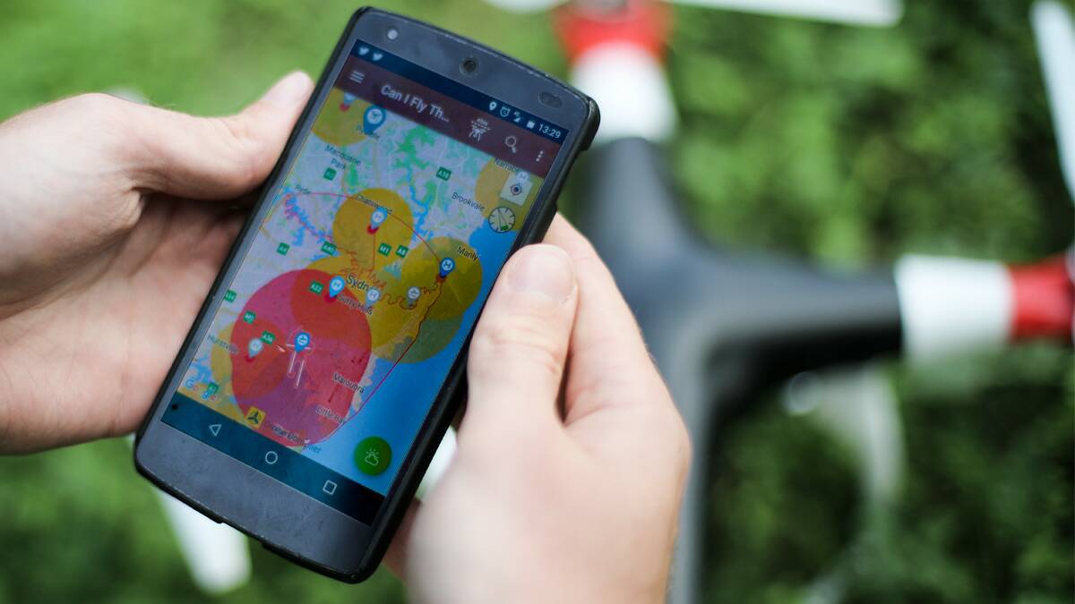
The newly released app ‘Can I fly there?’ identifies drone no fly and fly with caution zones throughout the area, with restrictions in place to help prevent mid-air collisions with aircraft.
The potential for such a collision has long been a concern for Griffith pilots, who despite the obvious risks and it being illegal to fly have seen drones flying in close proximity to the airport.
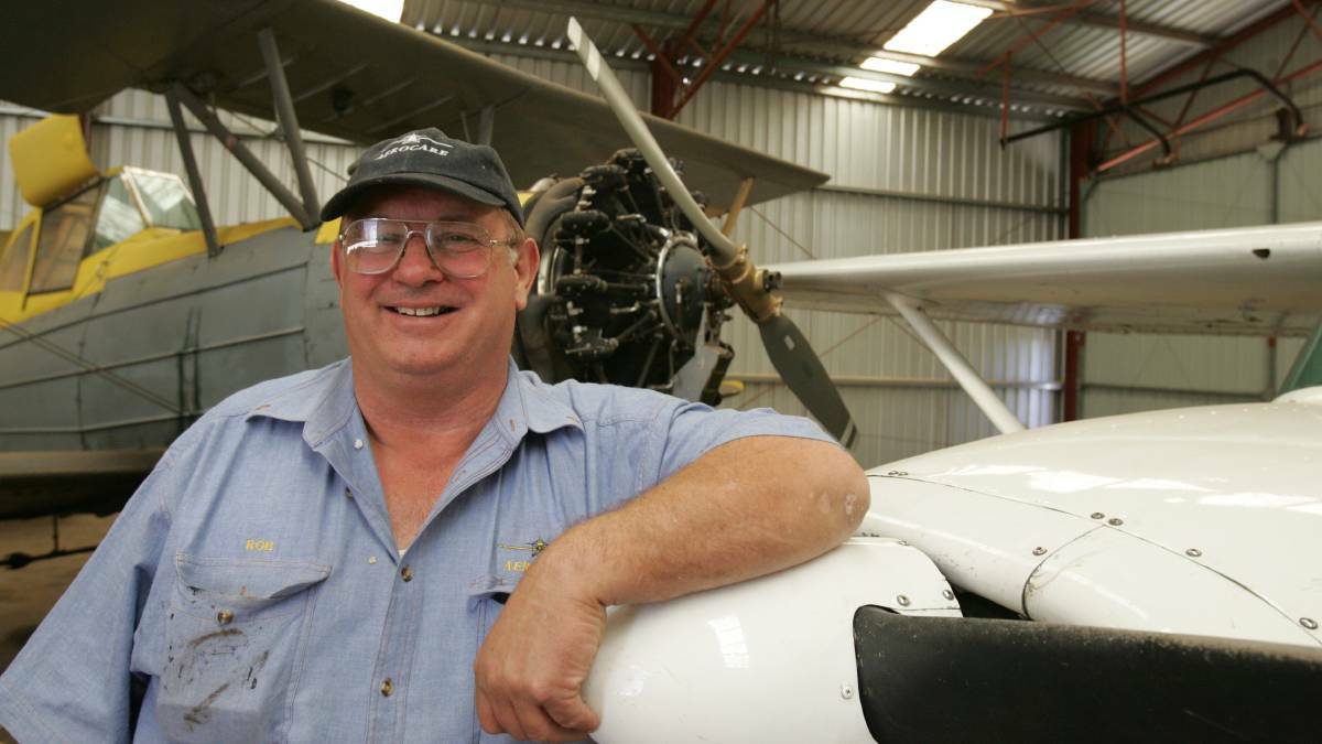
“We have actually had drone users near the aerodrome taking photos of houses in the past,” agricultural operator Rob Robilliard said on Monday.

“That has really got to stop, common sense has got to prevail.”
A veteran crop duster, Mr Robilliard is further at risk due to his profession with agricultural aircraft legally allowed and often required to fly at just 300 feet above ground level, while drones can reach up to 400 feet.

In the event he hit one of the drones the consequences could be fatal.
“I don’t want to see a drone in front of my windscreen, they are large enough they could knock you out,” he said.
Mr Robilliard said while the launch of the Civil Aviation Safety Authority’s app would help local drone users realise the dangers of flying in restricted airspace there was still some catching up to do.
“The cat’s already out of the bag, but it is a good thing – the best we can hope for is people using common sense, we have to stay away from the airport that is for sure,” he said.


